
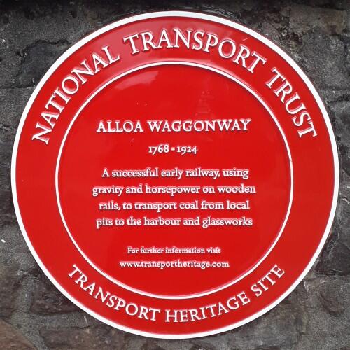
Alloa Waggonway

1768-1924
A successful early railway, using gravity and horsepower on wooden rails to transport coal from local pits to the harbour and glassworks
Region:
Red Wheel Site:
Transport Mode(s):
Address:
72 Drysdale St, Alloa, Clackmannonshire
Postcode:
Visitor Centre:
Website:
Visit website


The Earl of Mar built this waggonway in 1768 to carry coal from his coalfields to the forth. On the way it traversed the centre of Alloa.
This waggonway ran from Alloa harbour to coal mines in the Sauchie area and was an expansion of an original line between the Alloa Glassworks and Alloa Harbour. Originally constructed with wooden rails, it was changed to wood and iron strip in 1785 and to cast-iron in 1810. it is one of the earliest railways in Scotland. The route through Alloa passes under two tunnel-like bridges.
The route of the waggonway was first shown on a plan drawn for the 6th Earl of Mar c1710 and described as the 'new coal road'. It skirted the western edge of the town, unlike the old road, Coalgate, which ran through the town. The waggonway, with its wooden and then later iron rails, was established later along the same route as that proposed on the 1710 plan. At its southern end it appears to have run on more or less level ground, but as the land rose gradually northwards it was probably necessary to create a sort of cutting to enable the the horses pulling the carts/wagons to move back and forth without struggling up too much of a slope. The track would have been entirely open at this time, as there were no roads which needed to cross it.
Alloa began to expand westwards in the early 19th century. Bedford Place was, in effect, a westward continuation of Stripehead and houses began to be built there in the early 19th centuries. John Wood's map of 1825 shows the new road in place, apparently with what looks like a bridge over the waggonway, but by the time the 1st ED OS map was surveyed c1858/9, it looks as if the tunnel which still exists had been built. Further north was a different story; on Wood's map of 1825 the tunnel is clearly in place and we can imagine that this was because the cutting had had to be deeper due to the higher level of the surrounding land on the top of the rise, therefore a tunnel was required from the start to carry the new road - in effect a junction of the older Mar Street with the new Drysdale Street - over it.
Notes from Susan Mills, with thanks.
Local press coverage:
Alloa & Hillsfoot Advertiser 10 Feb 2021
The Red Wheel Heritage Plaque was erected in March 2021 during the Covid 19 pandemic. A formal unveiling ceremony is hoped to be possible in due course
By road: One of the tunnels lies under Mar Street, and the other is under Bedford Place, close to Moncrief United Free Church of Scotland, near the centre of Alloa.

Biddle, Gordon, Britain's Historic Railway Buildings, Oxford University Press, ISBN-10: 0198662475 (2003)
Biddle, Gordon and Simmons, J., The Oxford Companion to British Railway History, Oxford, ISBN 0 19 211697 5 (1997)
Robertson, CJA., The Origins of the Scottish Railway System 1722 – 1844, John Donald Publishers Ltd. ISBN 0 85976 088 X (1983)
Stewart, Isobel Grant, County's Industry was on the move, Alloa Bygone January 2007

The Alloa Wagonway - Jeffray Wotherspoon
National Library of Scotland- Town Plan of Alloa 1861-2
Port of Alloa- History
Alloa Waggonway - Wikipedia