
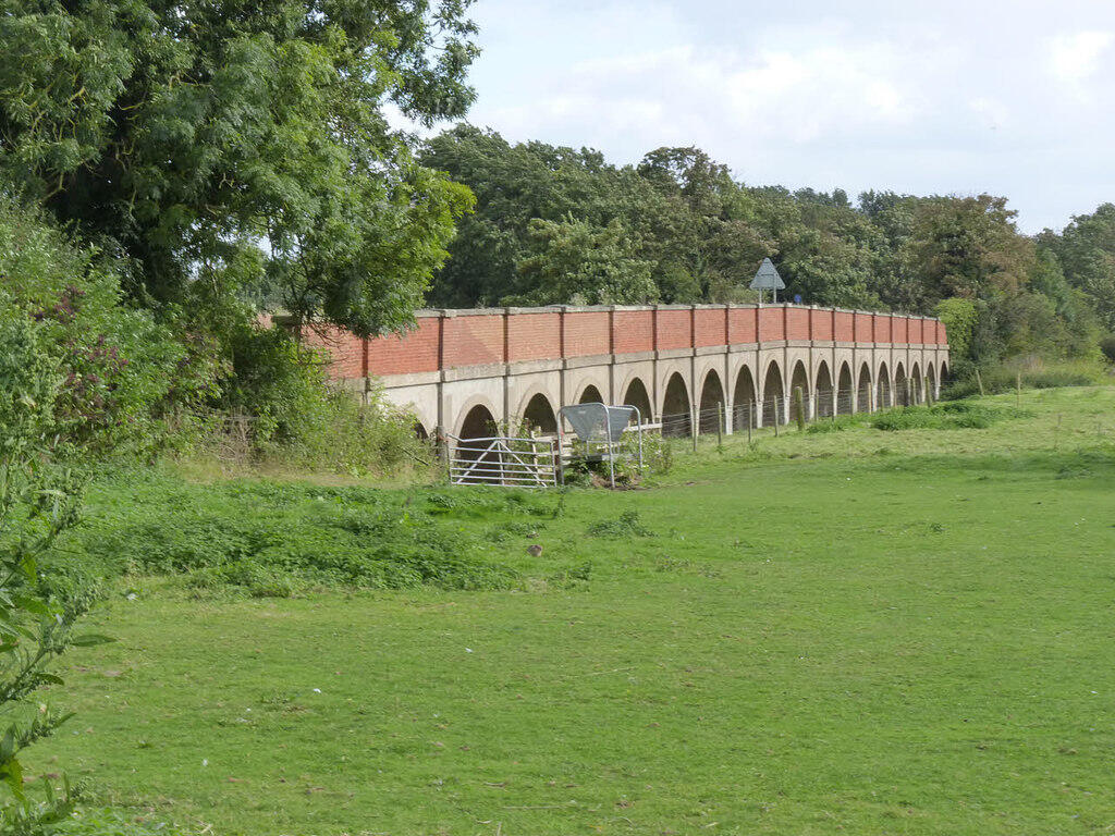
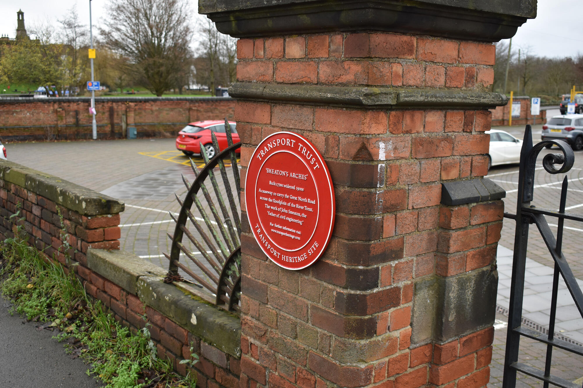
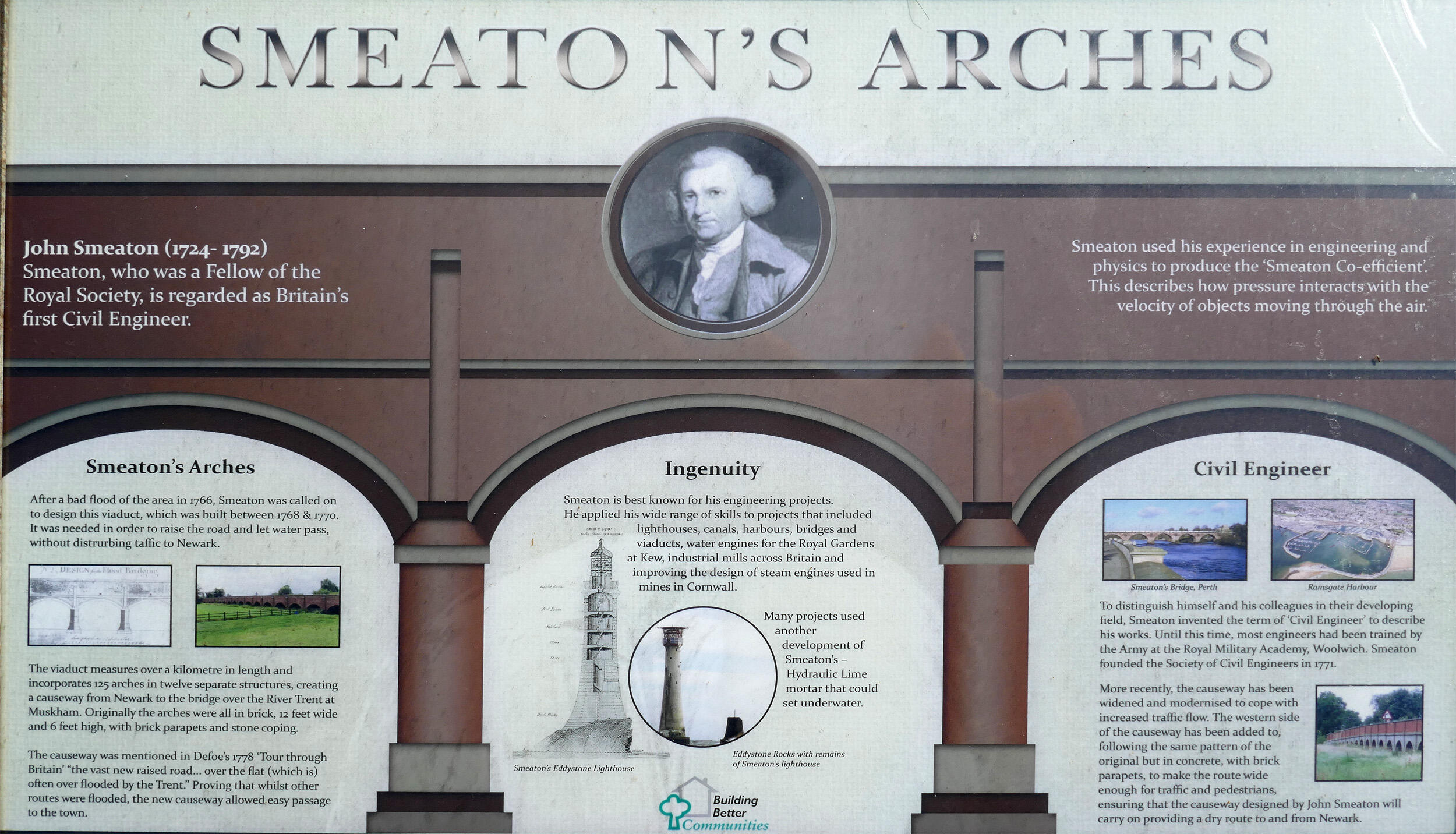
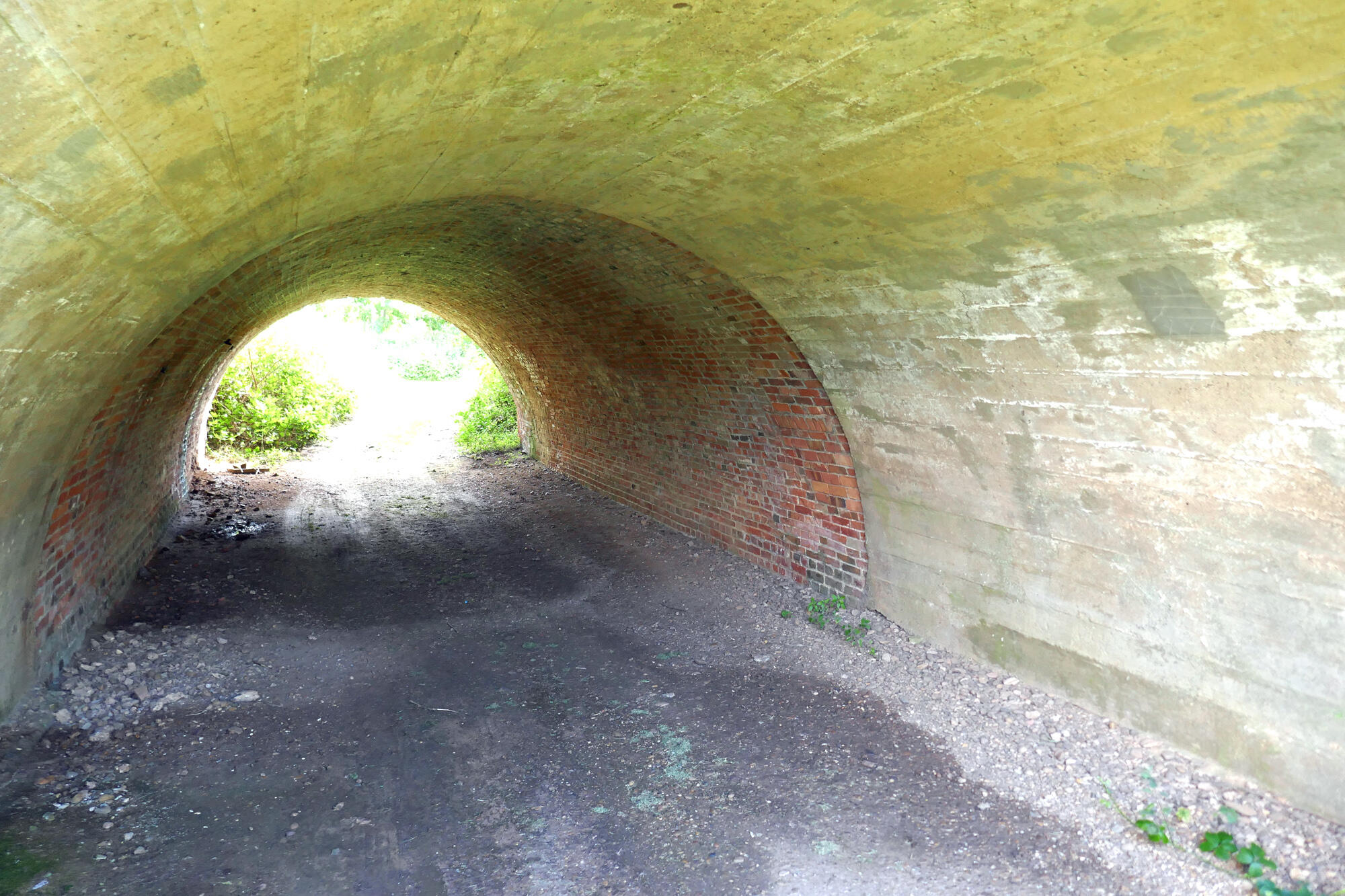
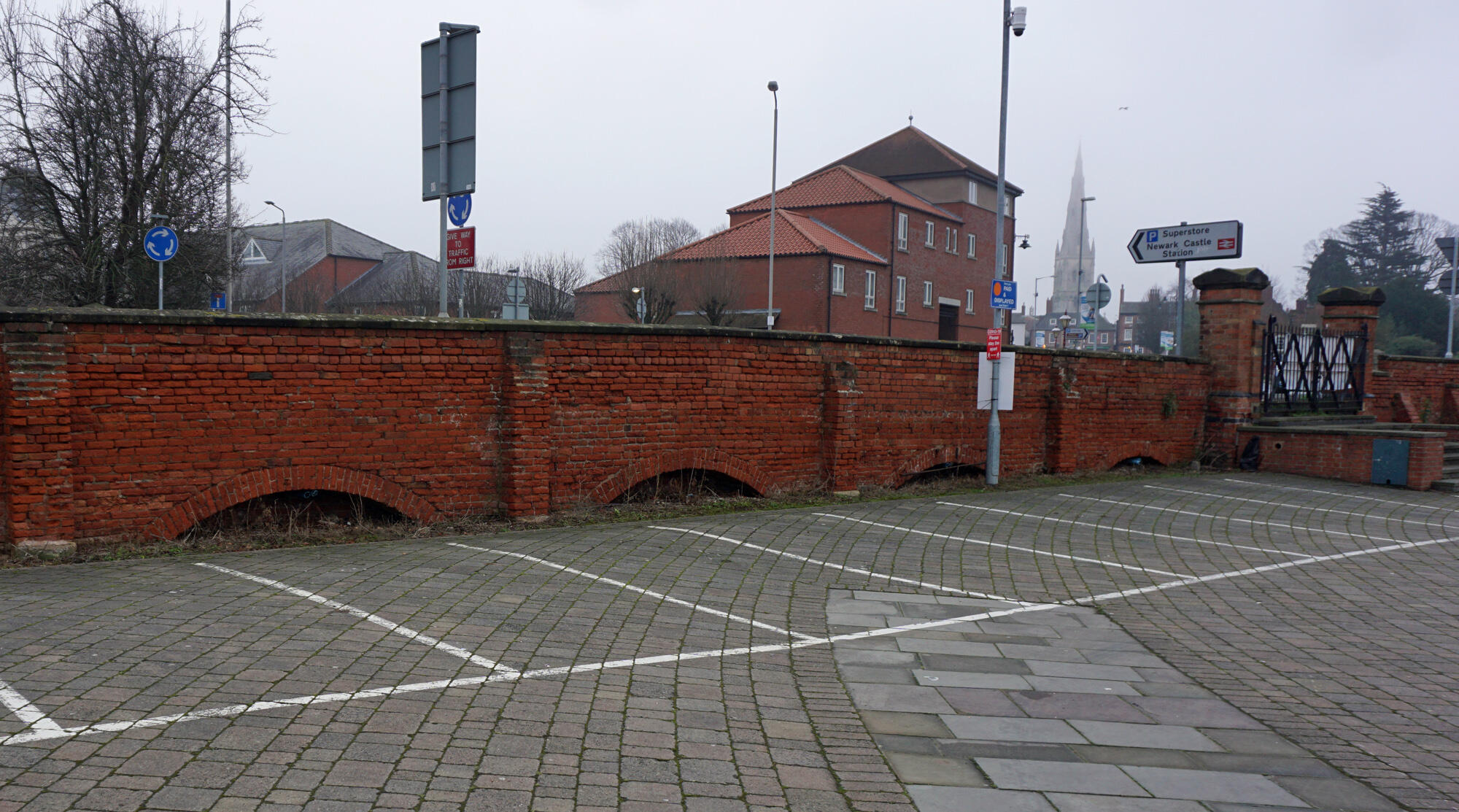
Smeaton's Arches, Newark

Built 1770s: widened 1920s
A causeway to carry the Great North Road across the floodplain of the River Trent. The work of John Smeaton, the 'father of civil engineering'
Region:
Red Wheel Site:
Transport Mode(s):
Address:
Great North Road,
Newark on Trent
Postcode:
Visitor Centre:
Website:
Visit website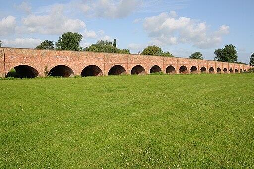


Alan Murray-Rust (cc-by-sa/2.0)

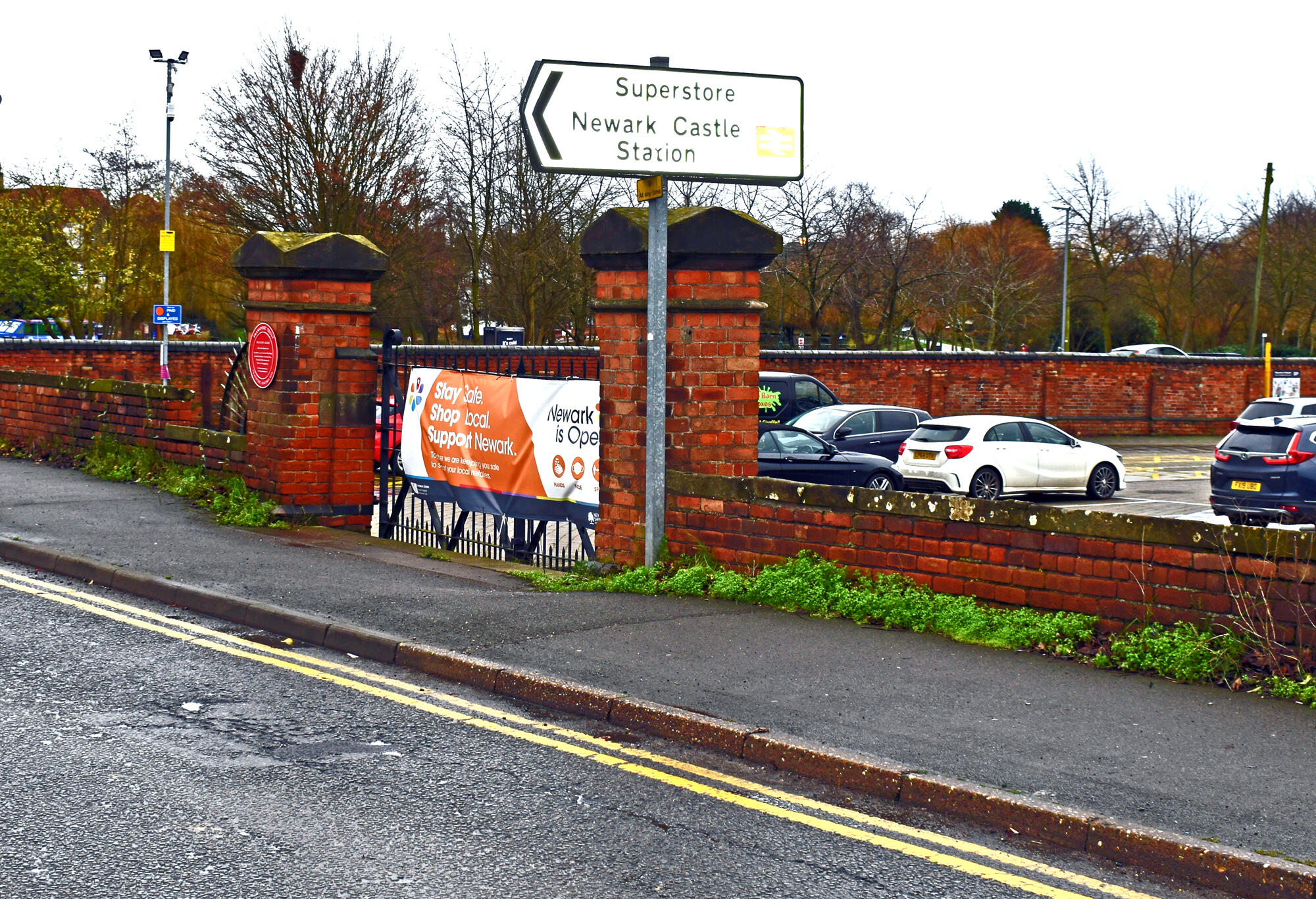
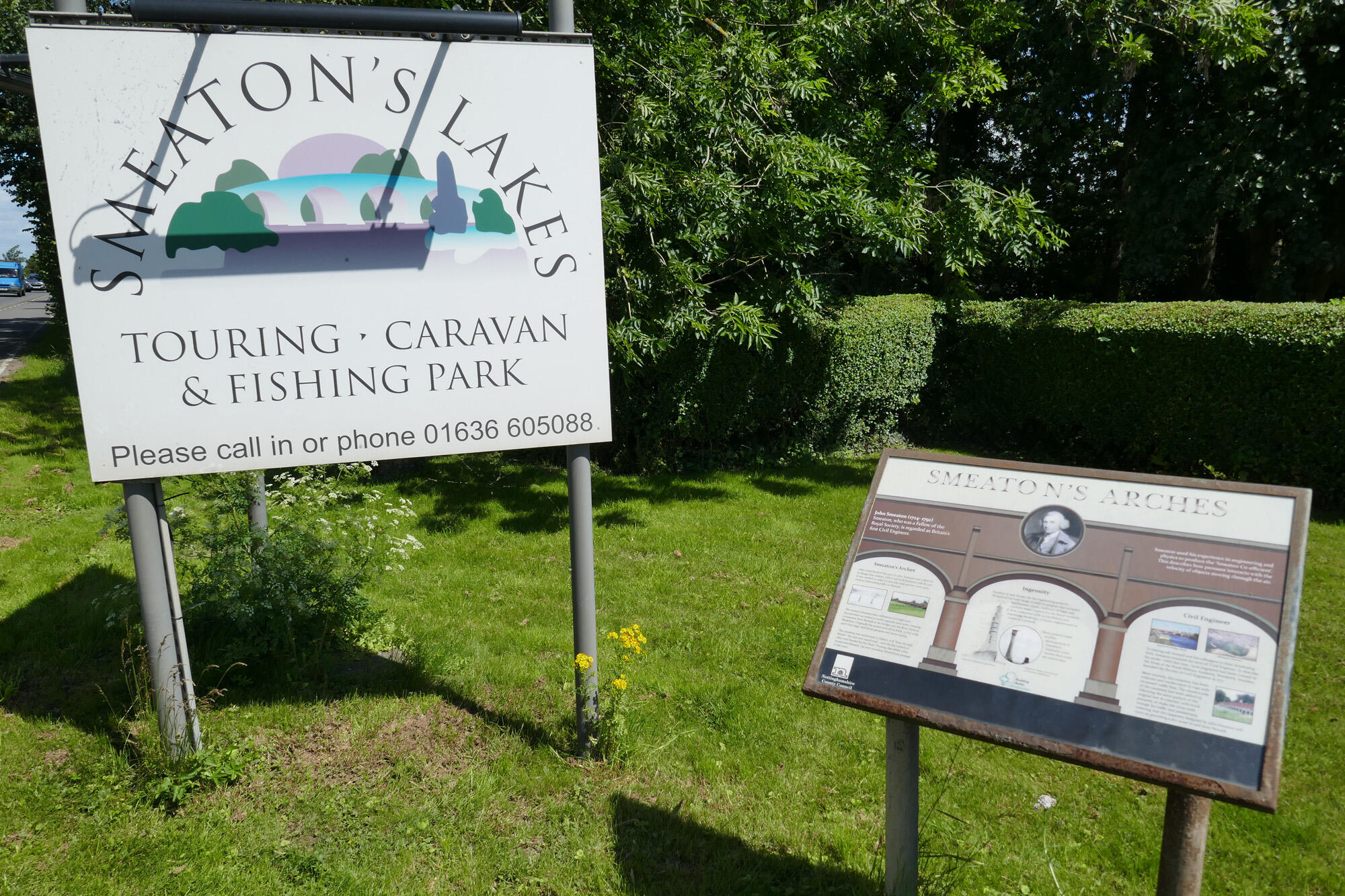
The Red Wheel plaque is fixed to a red brick gatepost to the former cattle market entrance - opposite the road leading to Waitrose.
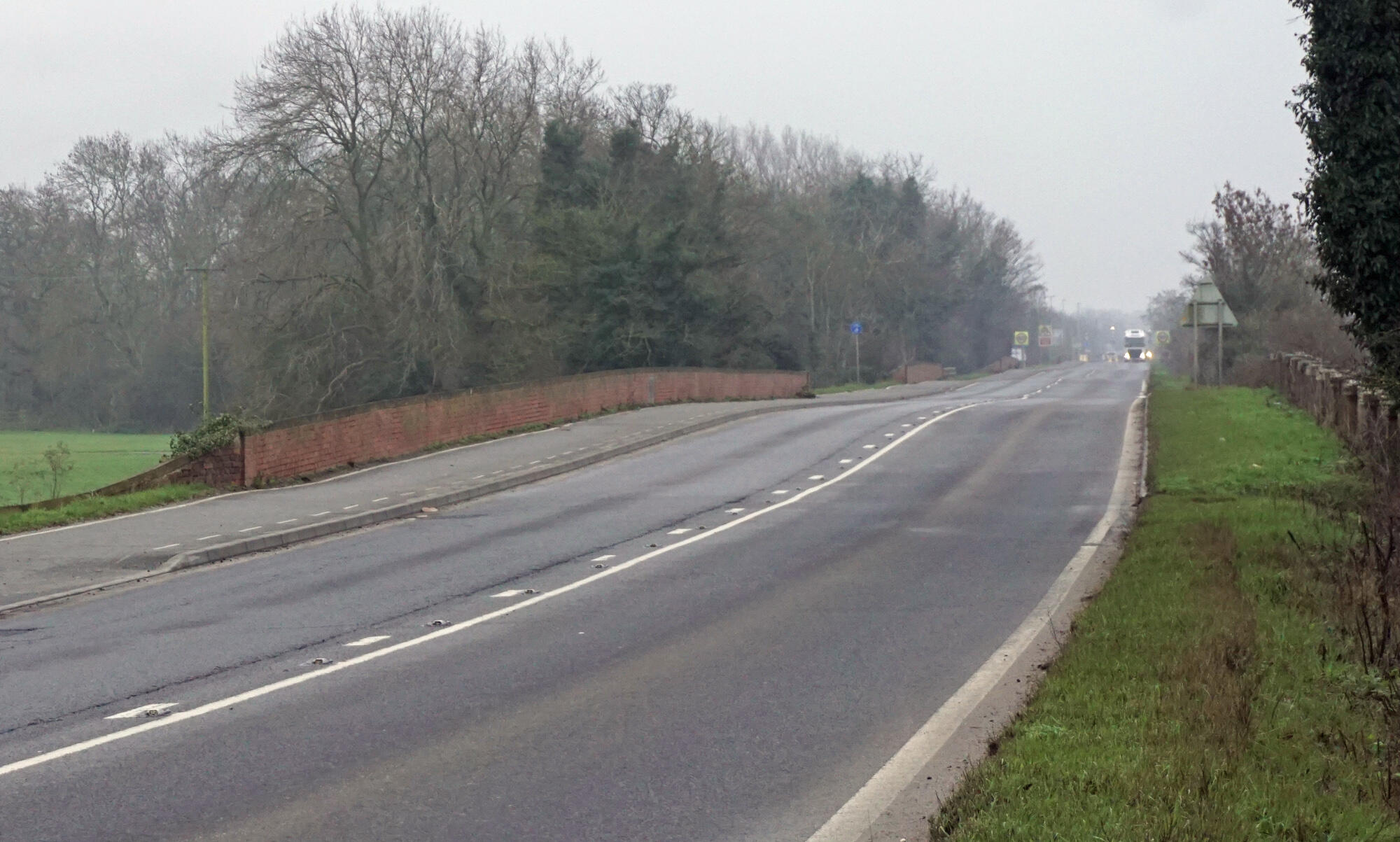
The Arches start immediately behind the pillar and can be seen when standing in the car park looking back at the wall.

"Reports of the late John Smeaton, F.R.S. made on various occasions, in the course of his employment as a civil engineer" by John Smeaton, Vol. I p.217-221, Longman, Hurst, Rees, Orme, and Brown, London, 1812